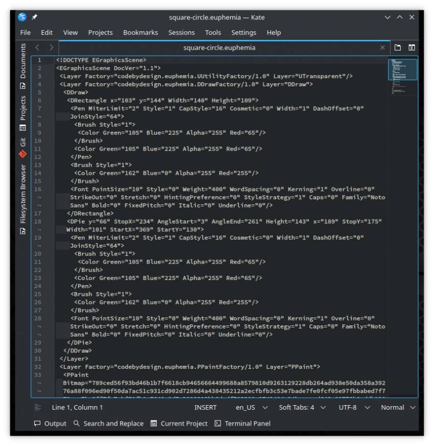
When there is a single layer of raster the file format is an image (PNG or similar). Spent a bit of time considering using SVG as the file format for the vector layers. I may consider doing a SVG specific layer but SVG does not support some important things. Layers are not really supported in SVG – but can be faked. Also; there is no support for connection points – needed for diagramming. So I decided to go straight to a custom file format in XML (like Merva). Have save/load working for mixed layers.